3DMaps blog — 3D scanning, photogrammetry, topography and cadastre
Articles on 3D scanning, photogrammetry, topography and cadastre.
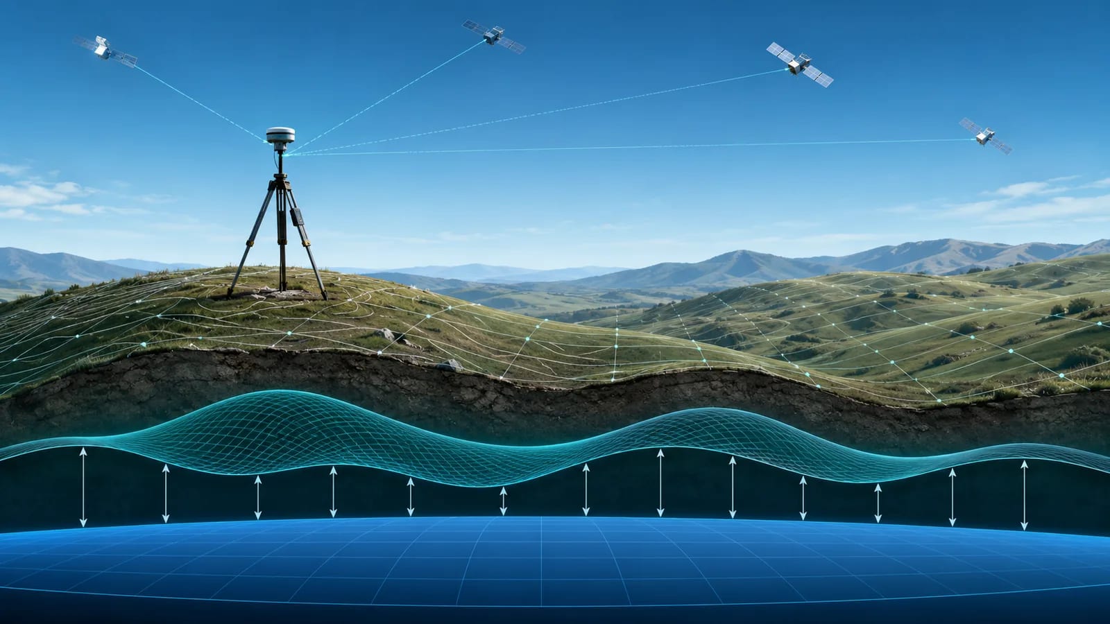
ROMGEO 25.09 și noul cvasigeoid: ce se schimbă pentru cotele tale altimetrice
ROMGEO 25.09 aduce un cvasigeoid nou și o conversie deterministă a altitudinilor GNSS — ce se schimbă pentru precizia ta pe verticală și pentru livrabile.
Read →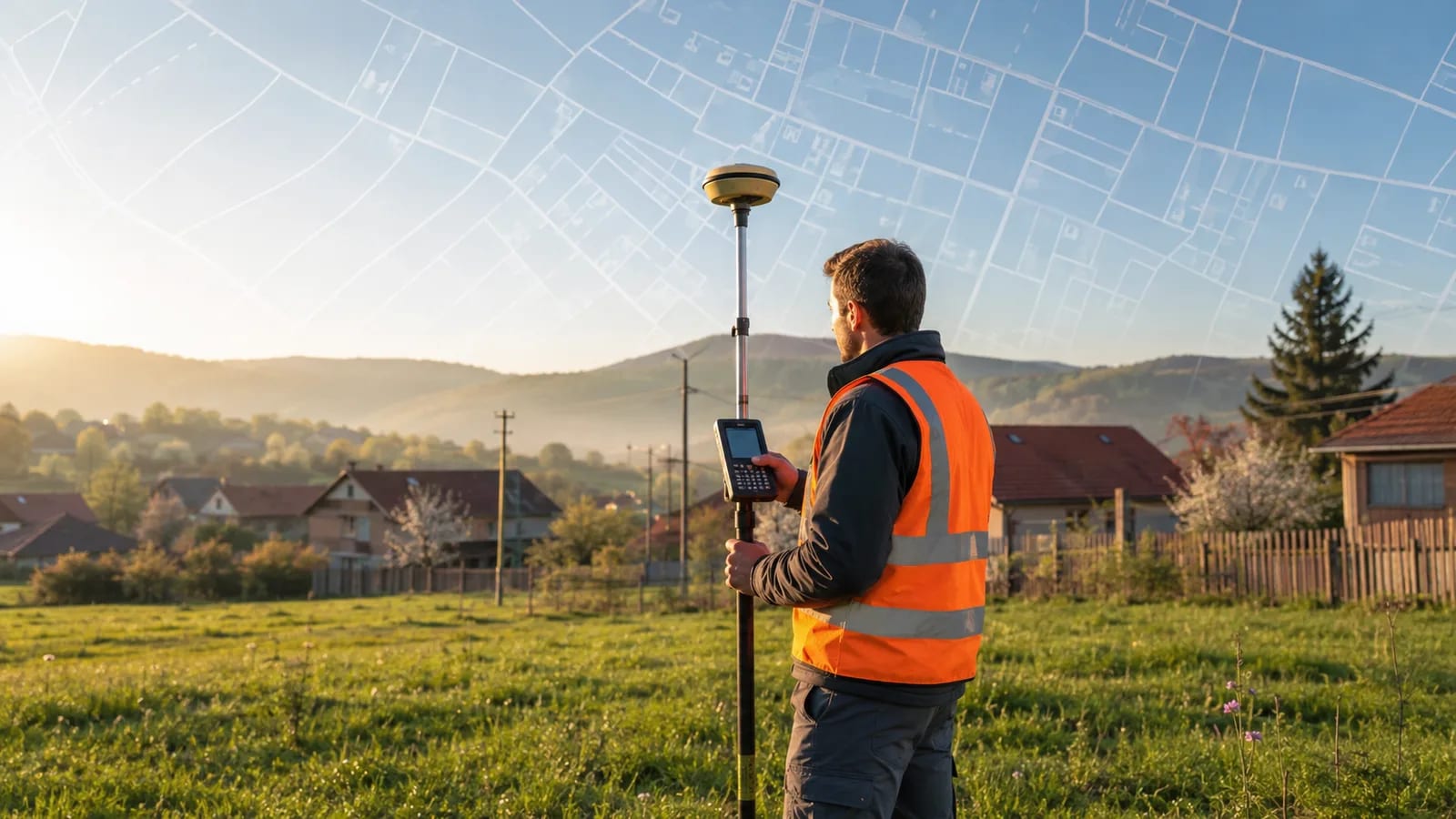
Cadastru gratuit în 2026: ce acoperă programul ANCPI și când tot ai nevoie de un topograf
În 2026 statul cadastrează gratuit milioane de imobile prin ANCPI — ce intră în program, ce nu, și când îți trebuie totuși un topograf autorizat.
Read →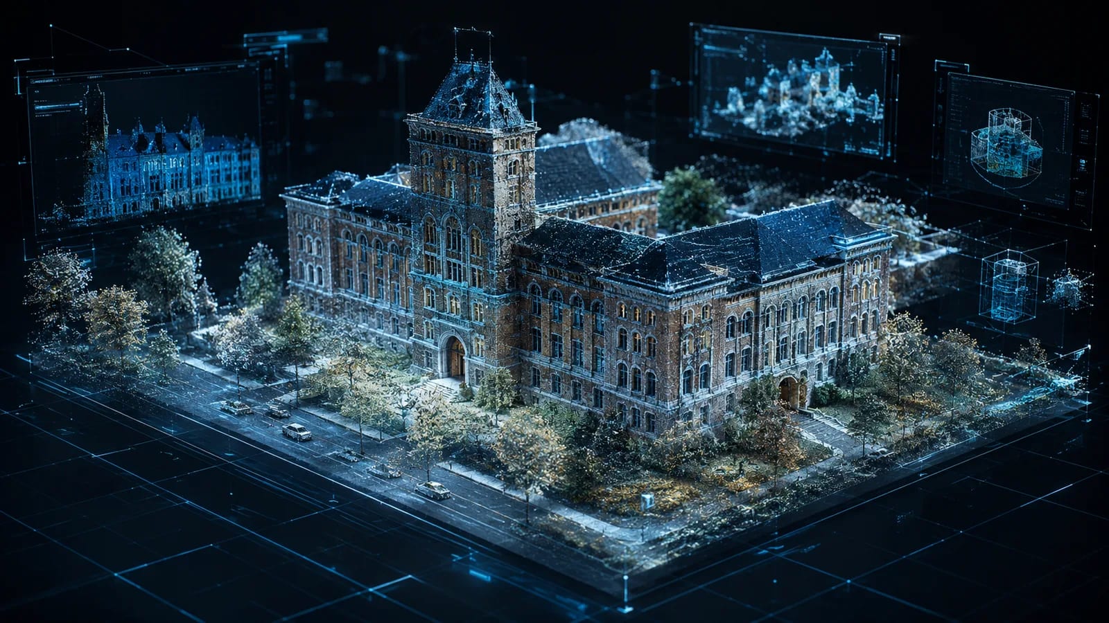
Gaussian Splatting și digital twins: încotro merge reality capture în 2026
Ce sunt Gaussian Splatting și digital twins, de ce au fost vedetele Geo Week 2026 și ce înseamnă pentru livrabilele din topografie și scanare 3D.
Read →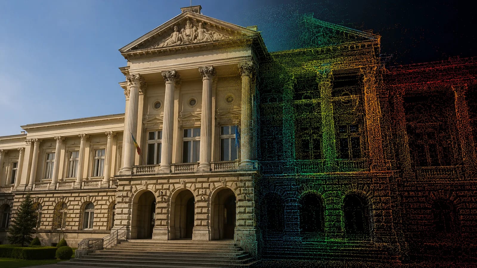
Restaurarea Muzeului Județean Argeș: cum ajută scanarea 3D la conservarea monumentelor
Cum sprijină scanarea 3D și fotogrametria conservarea monumentelor istorice, de la documentare la geamăn digital — pornind de la restaurarea Muzeului Județean Argeș.
Read →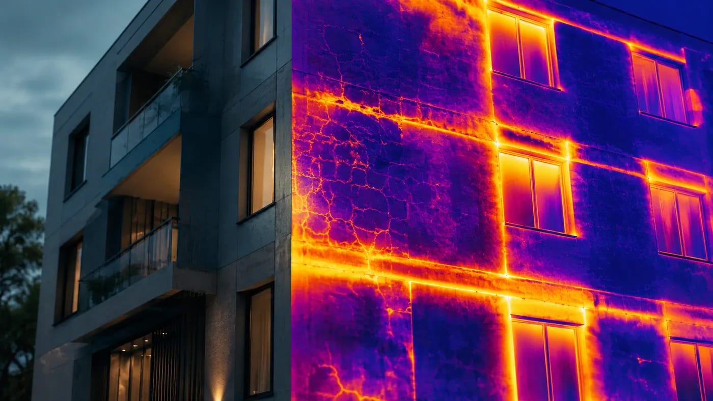
Structural assessment with thermal cameras: detecting problems in buildings
How thermal cameras help in the structural assessment of buildings: hot spots, insulation, water infiltration, concrete, electrical systems and roofs.
Read →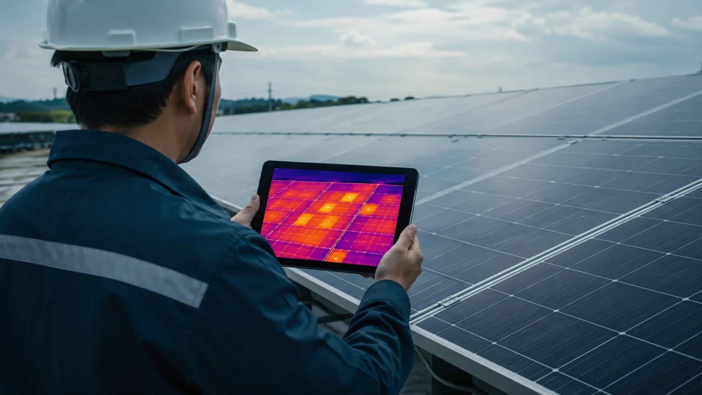
Thermal inspections in the PV industry for energy efficiency
How drone-mounted thermal inspections optimise the performance of photovoltaic parks: defect detection, safety, and reduced maintenance costs.
Read →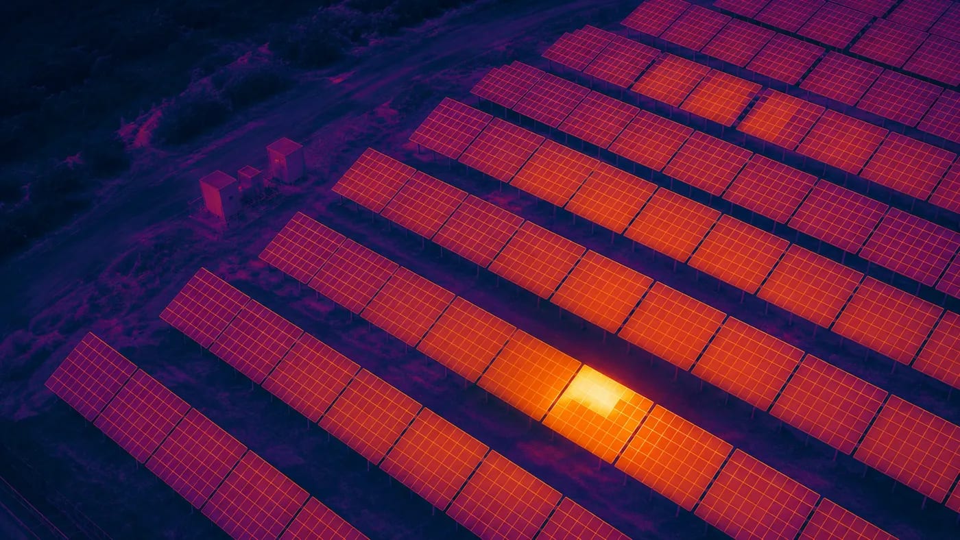
Thermal-imaging drones for photovoltaic parks: detecting defects
What defects appear on PV panels and how thermal-imaging drones spot them quickly — saving time and cost while maximising energy output.
Read →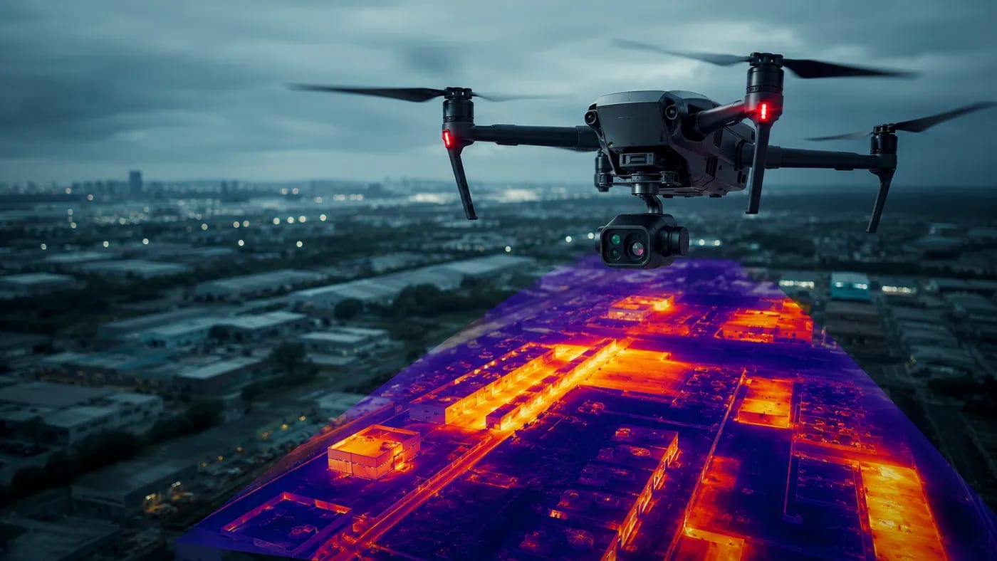
Thermal-imaging drones: the most important practical uses
Main applications of thermal-imaging drones: security, search and rescue, infrastructure monitoring, agriculture, industrial inspections and environment.
Read →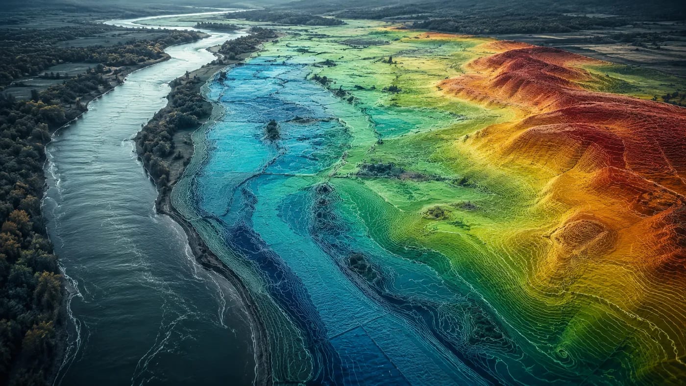
LiDAR and the EU Floods Directive: mapping high-risk areas
How airborne LiDAR and mobile scanning support the EU Floods Directive: accurate digital terrain models, risk maps and prevention of flood damage.
Read →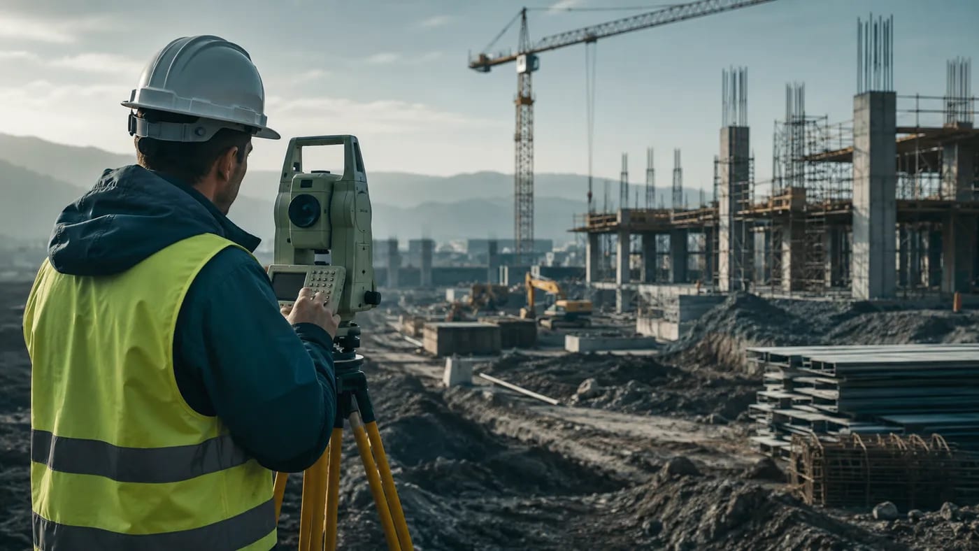
Topographic surveys in construction: purpose, equipment and required documents
What a topographic survey is, the equipment it uses (RTK GPS, 3D scanner, drone), the required documents and why it is the first mandatory step in any construction project.
Read →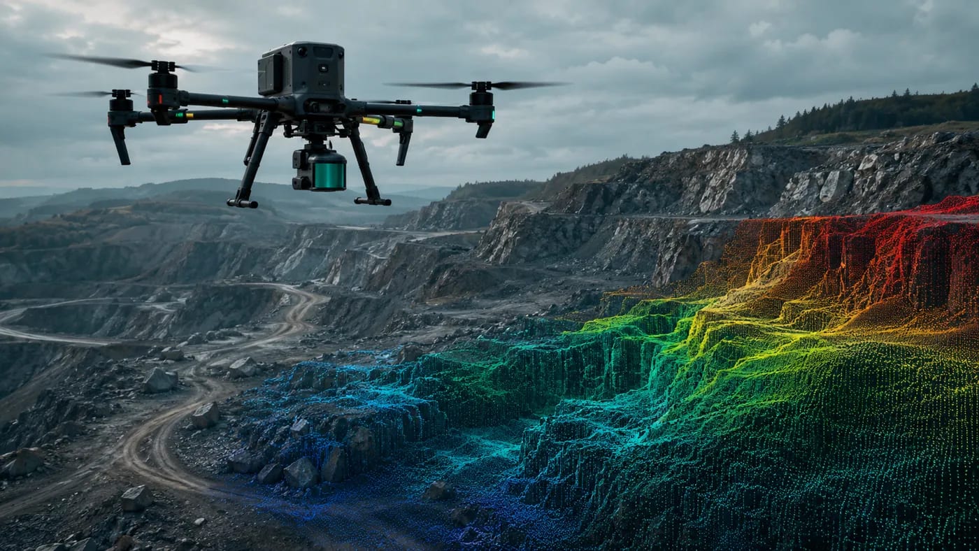
Volumetric measurements with drones and LiDAR: precise volume calculations
How drones and LiDAR technology transform volumetric calculations in quarries, stockpiles and construction sites: dense point clouds, high accuracy and lower cost than traditional methods.
Read →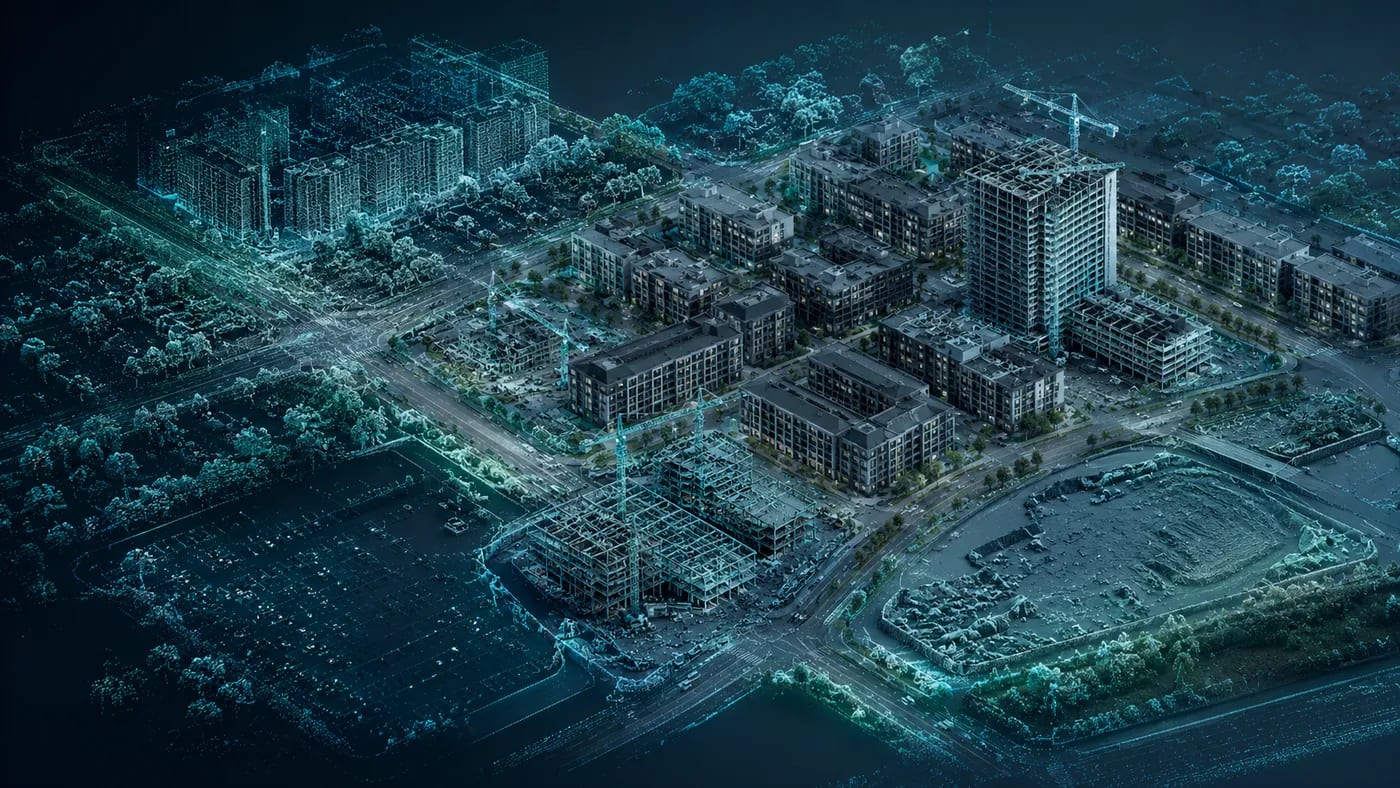
3D scanning and photogrammetric drones in urban planning
How 3D scanning and photogrammetric drones support efficient, sustainable urban planning through accurate 3D models of existing land and buildings.
Read →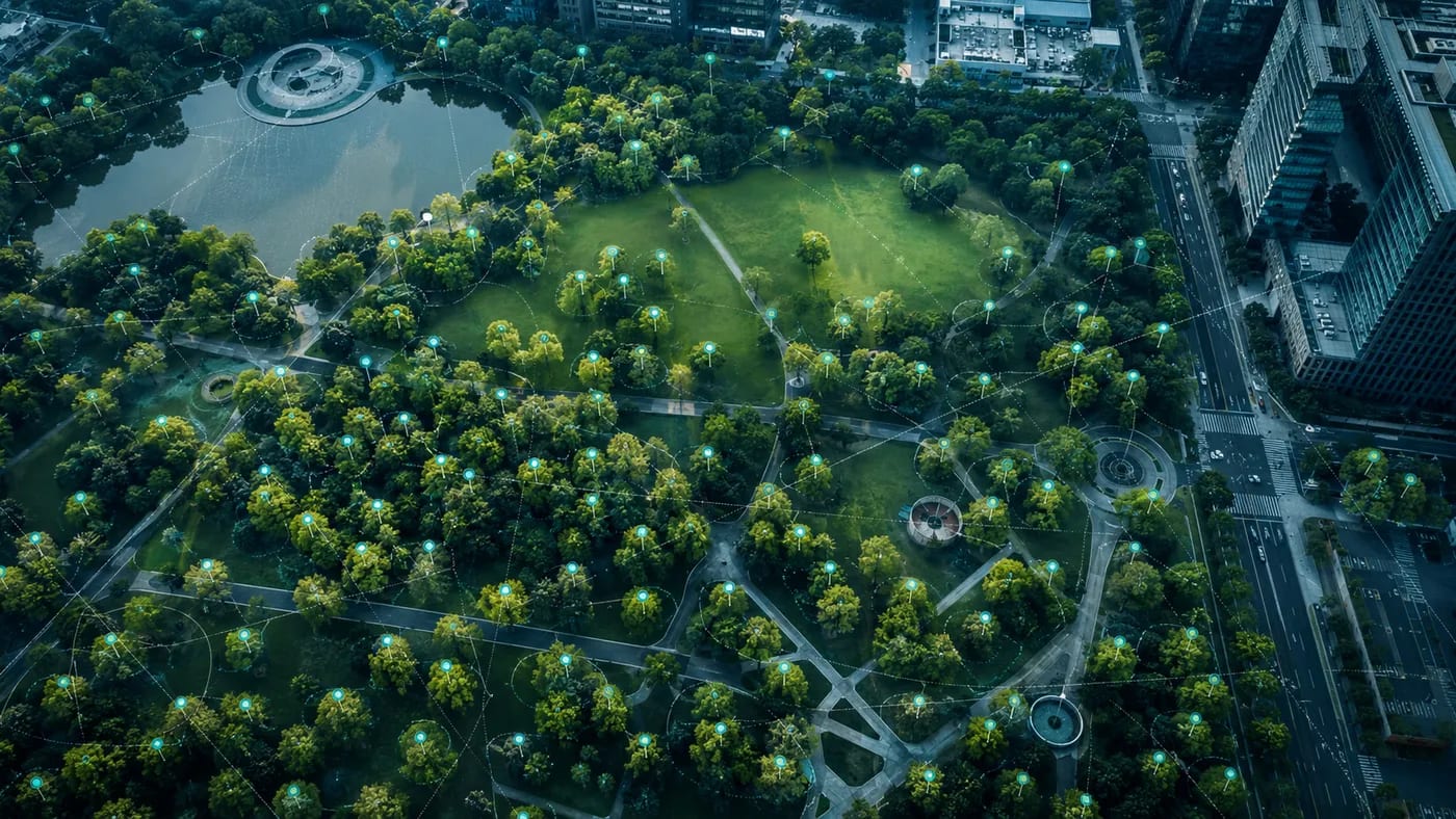
Tree inventory with photogrammetric drones: managing urban green spaces
How photogrammetric drones help map, count and inventory the trees in urban green spaces for more efficient and sustainable management.
Read →
Orthomosaics and orthorectification in drone photogrammetry: a practical guide
What an orthomosaic is, how it is produced through drone photogrammetry, what orthorectification means and the benefits an orthophoto brings in mapping and GIS.
Read →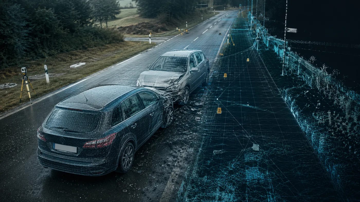
Photogrammetry for car-accident documentation: a fast 3D scene
How photogrammetry from drone and ground photographs documents a road-accident scene: point cloud, 3D model, CAD sketch, precise distances and angles.
Read →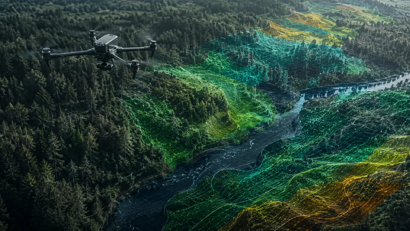
Drone photogrammetry for environmental issues and disasters
How drone photogrammetry supports the assessment of environmental disasters — floods, landslides, pollution — and the monitoring of their evolution over time.
Read →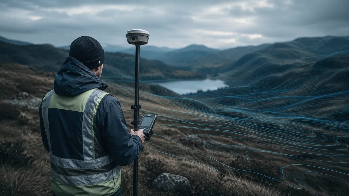
Topographic studies: what they are and when they are needed
What topographic studies are, what information they provide and when they are required for building permits, cadastre and urban planning documentation.
Read →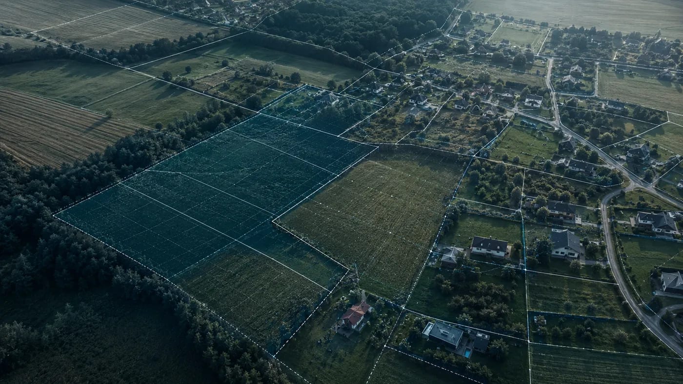
How a cadastre firm helps you: documentation and land registry
What cadastral documentation involves, the benefits it brings and why a specialist firm is needed when buying, selling or exchanging real estate.
Read →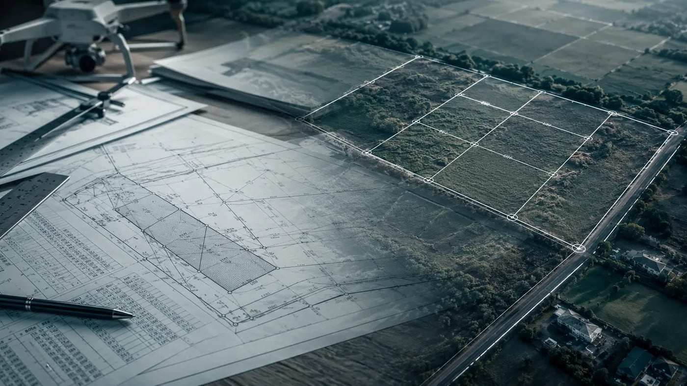
All about cadastre: stages, the cadastral expert and required documents
What cadastre is, the role of the cadastral expert, the stages of a cadastral job and the documents required for registering a property and the building in the land registry.
Read →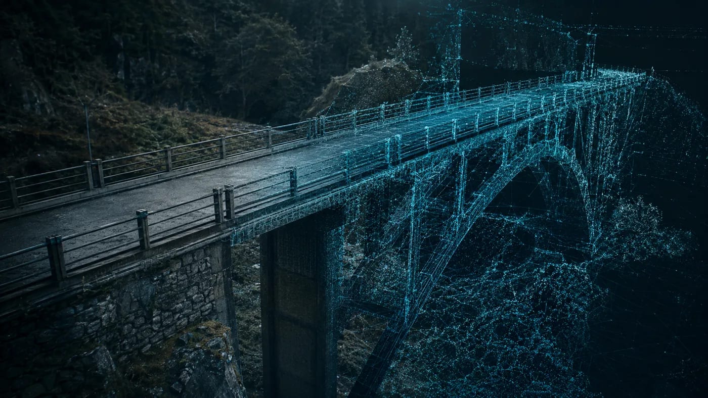
Checking the load-bearing structure of a road bridge with photogrammetry
How photogrammetry and 3D technology are used to check the load-bearing structure of road bridges, and what the rehabilitation of a damaged bridge involves.
Read →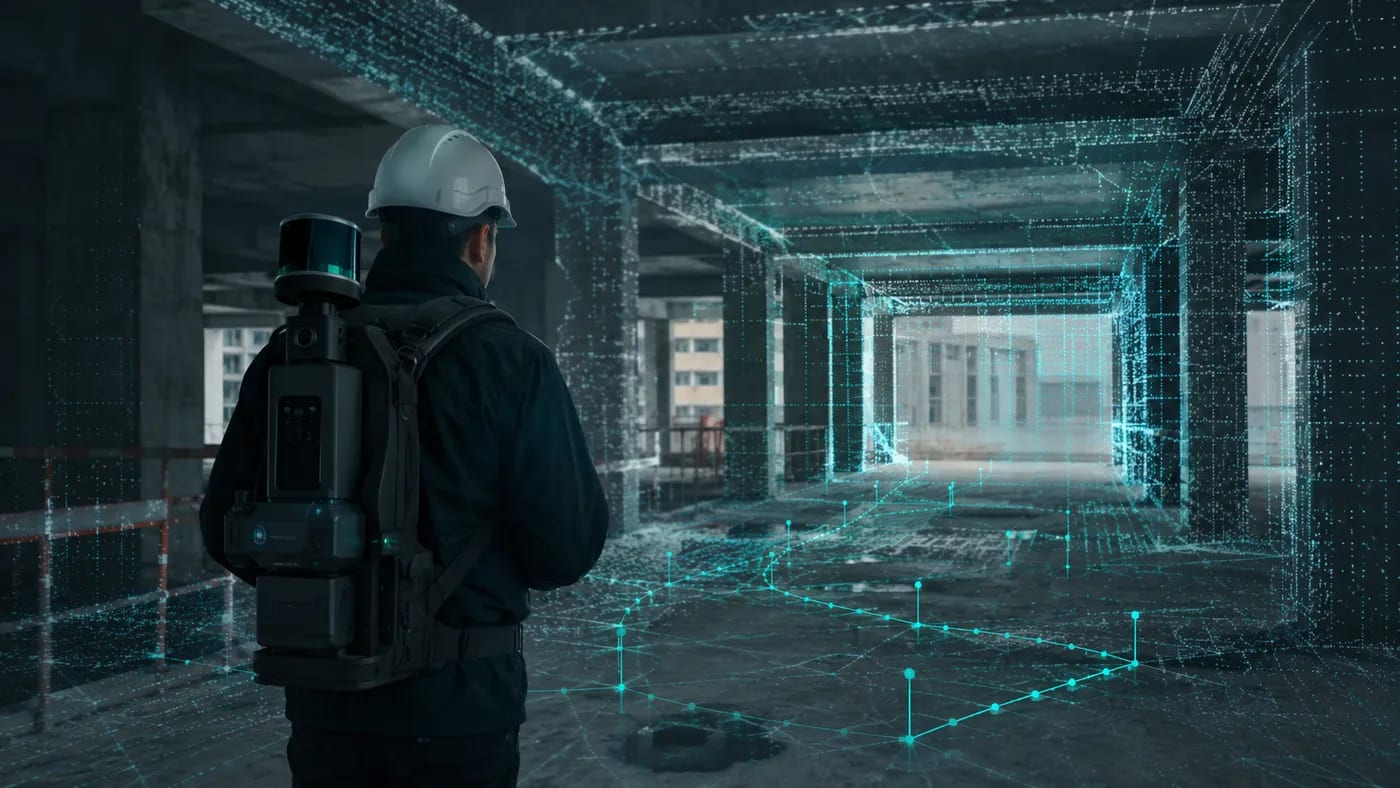
Handheld SLAM 3D scanners on site: 7 advantages in construction
Why handheld and mobile SLAM-based 3D scanners deliver real advantages on site: continuous scanning, access to tight spaces, colour point clouds and minimal training.
Read →
Mobile 3D scanning with SLAM algorithms: how it works without GPS
Why mobile mapping is so valuable and how the GeoSLAM handheld 3D scanner uses SLAM algorithms where GPS does not work — for example indoors.
Read →
SLAM scanners: the next generation of mobile 3D scanning
How mobile and handheld SLAM-based 3D scanners, which do not depend on GPS, are changing scanning workflows in construction and engineering in the BIM era.
Read →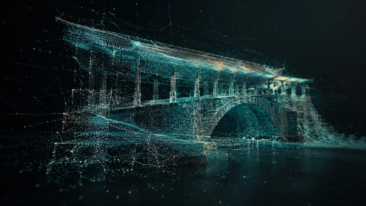
3D laser scanning: how it works and where it is used
How 3D laser scanning works, the measurement principles used (TOF, triangulation, phase shift) and the fields where it is applied — from architecture to industry.
Read →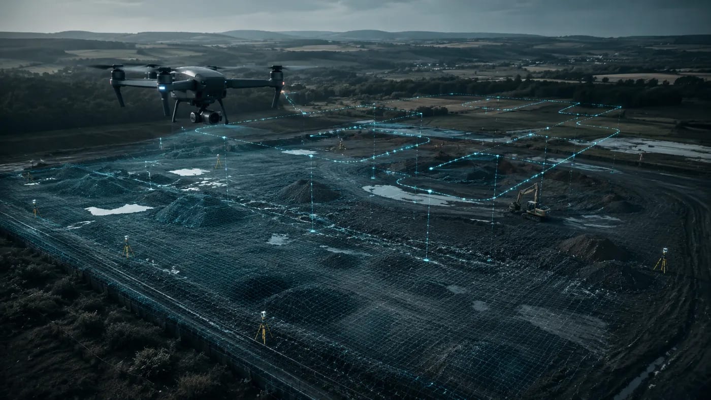
UAV aerial photogrammetry: modern measurements from a drone
What UAV photogrammetry is, the services 3DMaps provides (contour-line plans, 3D models, volume calculation) and the equipment and software we use — GeoSLAM, Geomax, BricsCAD.
Read →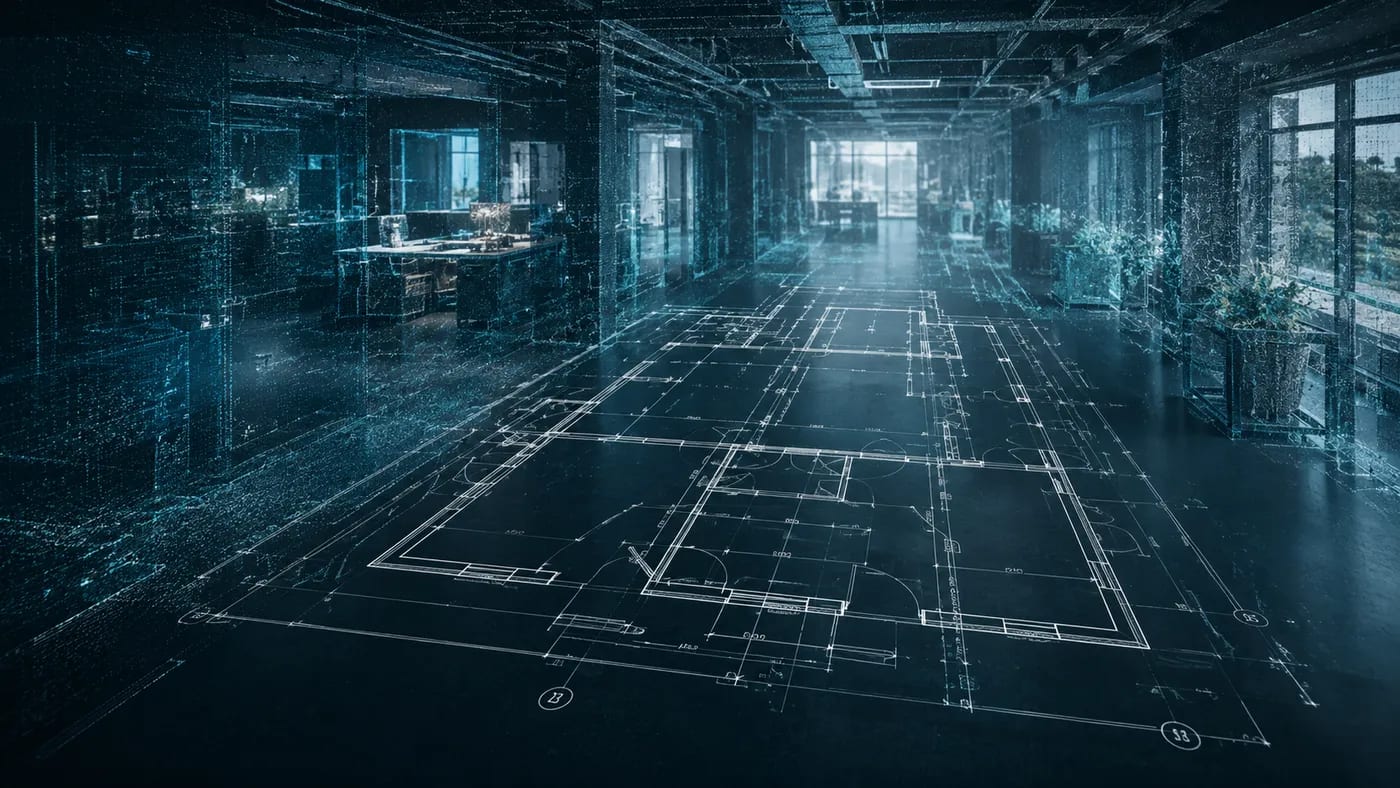
As-built surveys from 3D scanning: faster and more accurate than the traditional method
Why as-built surveys produced through 3D scanning are faster and more accurate than the traditional method, and the benefits they bring in designing and refurbishing buildings.
Read →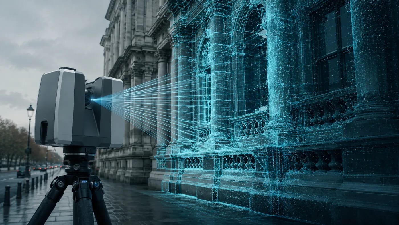
3D scanning of façades and buildings: as-built drawings, sections and 3D models
How 3D scanning of façades and buildings helps architects and engineers: 3D models, sections, façade drawings, verticality checks and condition assessment.
Read →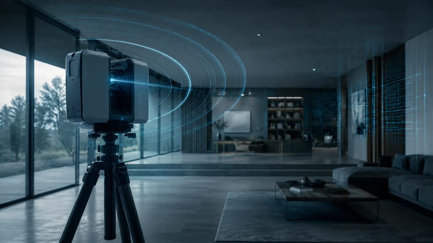
How 3D scanning works: laser scanning and photogrammetry
What 3D scanning is and the two methods used — 3D laser scanning and photogrammetry — to digitally recreate, as a point cloud, the shape of an object or building.
Read →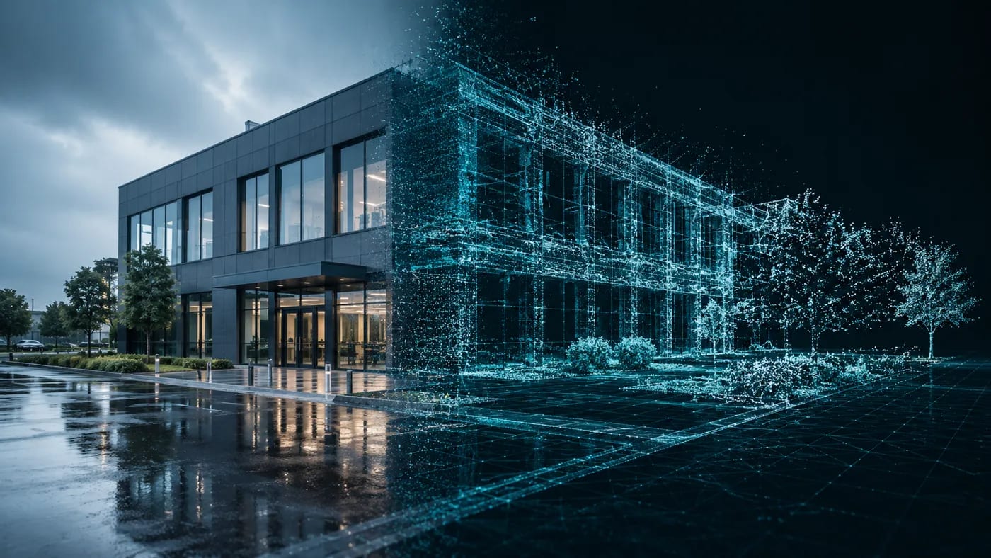
Benefits of 3D laser scanning in architecture and construction
How 3D laser scanning helps architecture and construction projects: accurate planning, real-time information, BIM/CAD export and fewer errors.
Read →