Topographic surveys in construction: purpose, equipment and required documents

A topographic survey is the first step of a construction project and the foundation on which every subsequent design decision rests. It provides accurate data about the land — elevations, contours, natural and man-made features — without which the urban-planning documentation and the technical design cannot be drawn up correctly. This article explains what a topographic survey involves, what modern equipment is used, what documents are required and how it fits into the workflow of a construction project.
What a topographic survey is, and what it is for
The purpose of a topographic survey is to obtain detailed data about the physical characteristics of the land: elevations, contour lines, existing natural and artificial features, and any aspect relevant to design. This data allows the construction to be planned correctly and prevents the problems caused by an incomplete picture of the site — from unsuitable foundations to conflicts with property boundaries.
Equipment used in modern topographic surveys
Current technology offers several complementary methods:
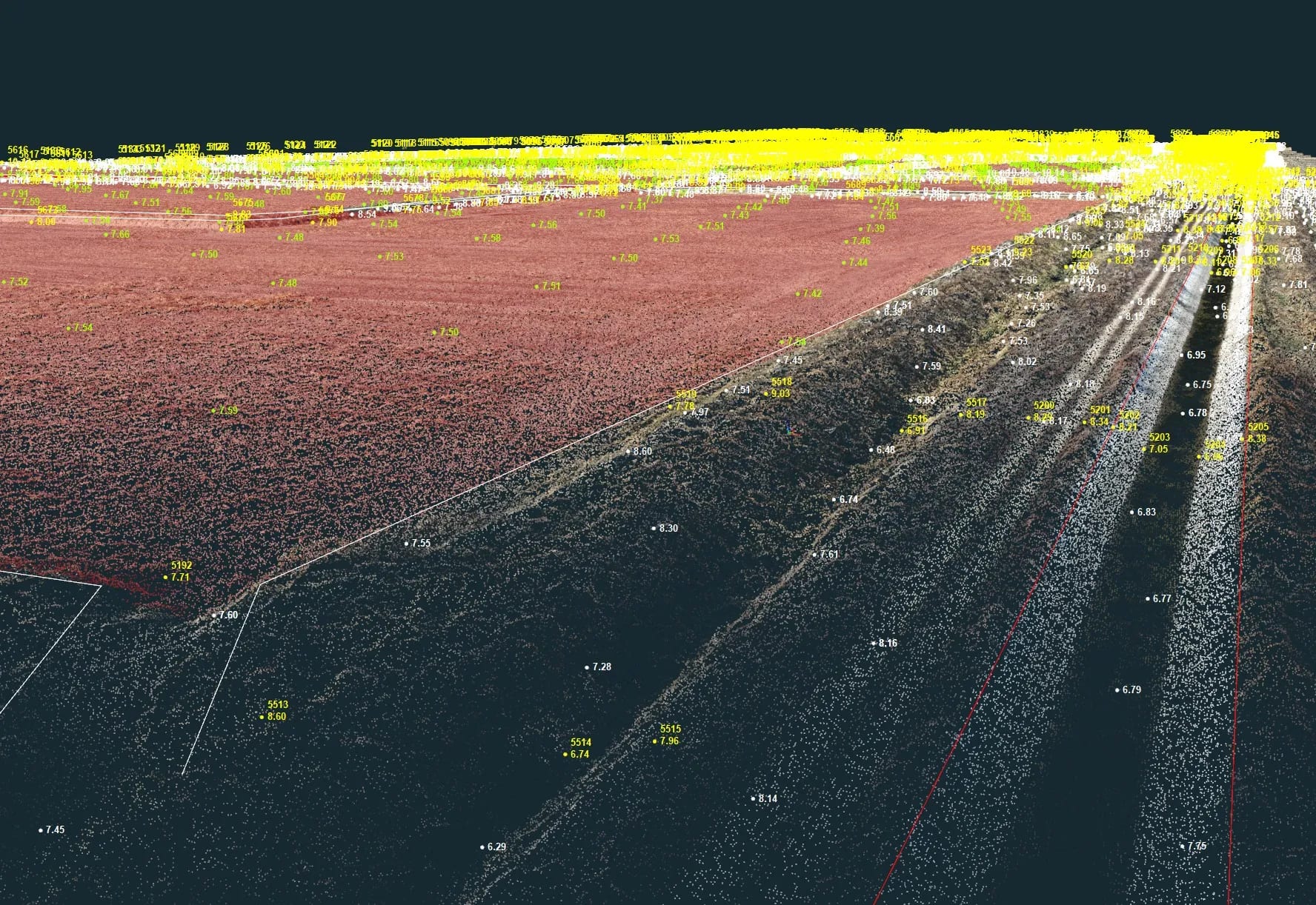
- RTK GPS: positioning systems with real-time corrections, which determine point coordinates with high accuracy in the national Stereo 70 system.
- 3D scanner: captures complex details of the terrain and existing structures as a point cloud.
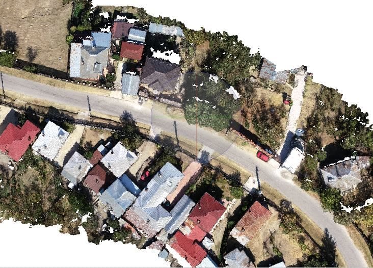
- Drones (UAV photogrammetry): combined with photogrammetry software, they produce detailed 3D models and orthophotos of the land — ideal for large areas.
Documents required for a topographic survey
The following are usually required for a topographic survey:
- Up-to-date cadastre — ensures that the information about the land is current.
- Urban-planning certificate for the investment — different from the one issued for information only.
- Owner’s ID or the company’s tax registration number — confirms the legality of the request.
The topographic survey is carried out before the urban-planning certificate is obtained: the planning documentation is based on the architect’s proposal, which in turn starts from the data provided by the topographic survey.
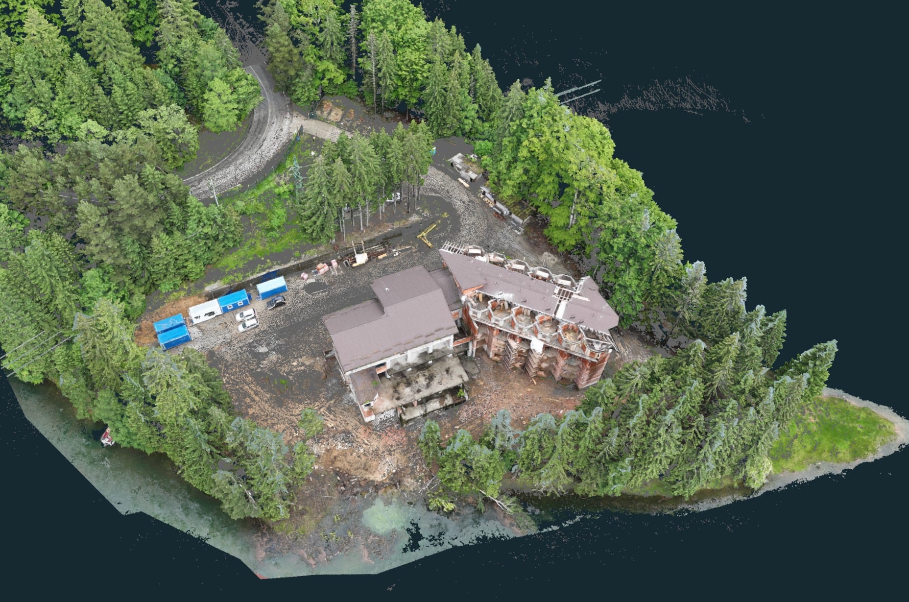
Case study: topographic survey near Lake Vidraru
We carried out a topographic survey for the construction of a hotel near Lake Vidraru, a site with pronounced relief that required appropriate field technology. We used the drone and photogrammetry software to produce an accurate 3D model of the land, identified the natural and artificial features and determined the best ways to integrate the construction into the landscape. The results underpinned the architectural and structural decisions.
Conclusion
Topographic surveys are fundamental for any construction project: advanced technology and respect for the legal procedures provide the solid base needed for planning and execution. If you are preparing an investment, request a topographic survey — we start the project from accurate data about the land.