Drone photogrammetry for environmental issues and disasters
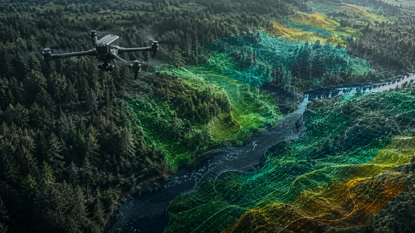
When the environment is hit by a disaster — a flood, a landslide, a source of pollution — the impact needs to be assessed quickly and accurately. Drone photogrammetry makes exactly this possible: detailed imagery and maps of the affected area, obtained without sending a team into the field and even in inaccessible places. This article presents how drone photogrammetry supports the assessment of environmental problems and the monitoring of how they evolve.
Floods and landslides
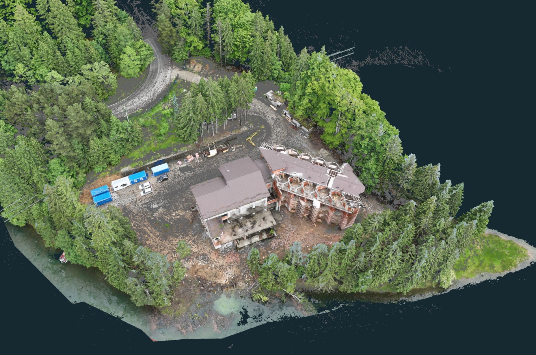
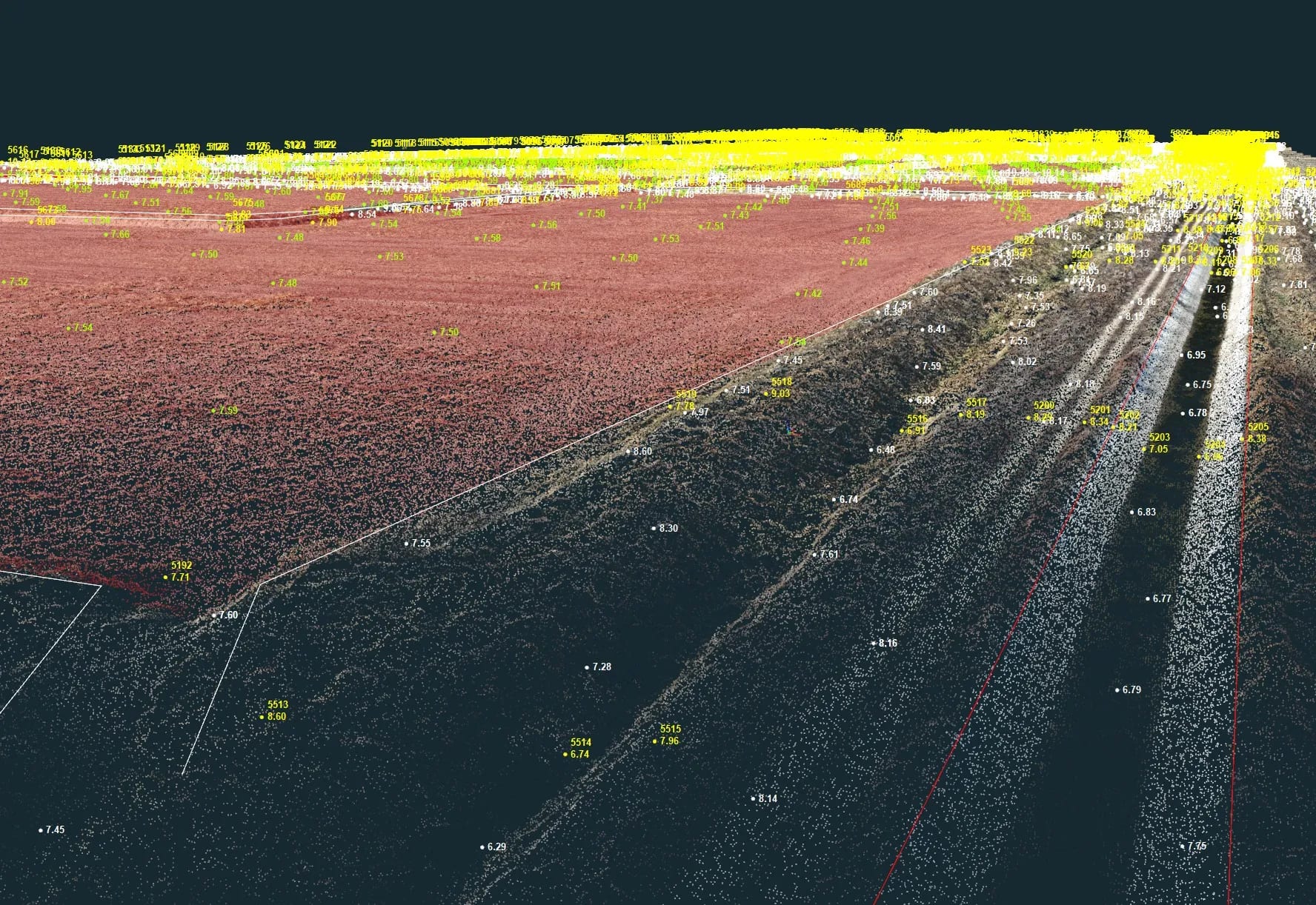
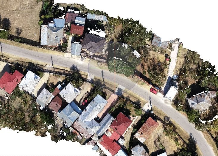
In the case of floods or landslides, photogrammetry quickly and accurately evaluates the extent and intensity of the impact. Detailed aerial imagery allows the affected areas to be identified and the resulting topographic or hydrological changes to be analysed. This information helps identify high-risk zones and develop preventive measures.
Pollution monitoring
Photogrammetry can be used to monitor the impact of human activities on the environment. Through analysis of aerial imagery, sources of pollution can be identified and remedial measures grounded in real data.
Hard-to-reach areas
Drones equipped with video cameras and specialised sensors produce detailed imagery and maps of the terrain, enabling rapid identification of problem areas and measurement of pollution. The technique is particularly useful in inaccessible areas — mountainous or with rough terrain — where access for ground teams is difficult or risky.
Monitoring evolution over time
A major advantage is the ability to track an environmental problem over time. By comparing imagery captured at different periods, changes and progress become visible — whether in fighting pollution or in the recovery of an affected area. The analysis is fast, saves time and resources, and supports prompt decisions when intervention is needed.
Conclusion
Drone photogrammetry is a valuable tool for addressing environmental issues: it delivers fast and accurate assessments of affected areas and supports both prevention and remediation monitoring. For aerial mapping of an affected area or for monitoring over time, contact us.