LiDAR and the EU Floods Directive: mapping high-risk areas
Floods are among the most costly natural threats to people, infrastructure and the environment, and their frequency is rising with climate change. To manage them, the European Union adopted the Floods Directive, which requires member states to identify high-risk areas and produce flood hazard and risk maps. Accurate digital elevation models sit at the base of these maps, and LiDAR (Light Detection and Ranging) technology is today the reference method for obtaining them. This article explains the role of airborne LiDAR and mobile scanning in flood prevention.
Airborne LiDAR for digital terrain models
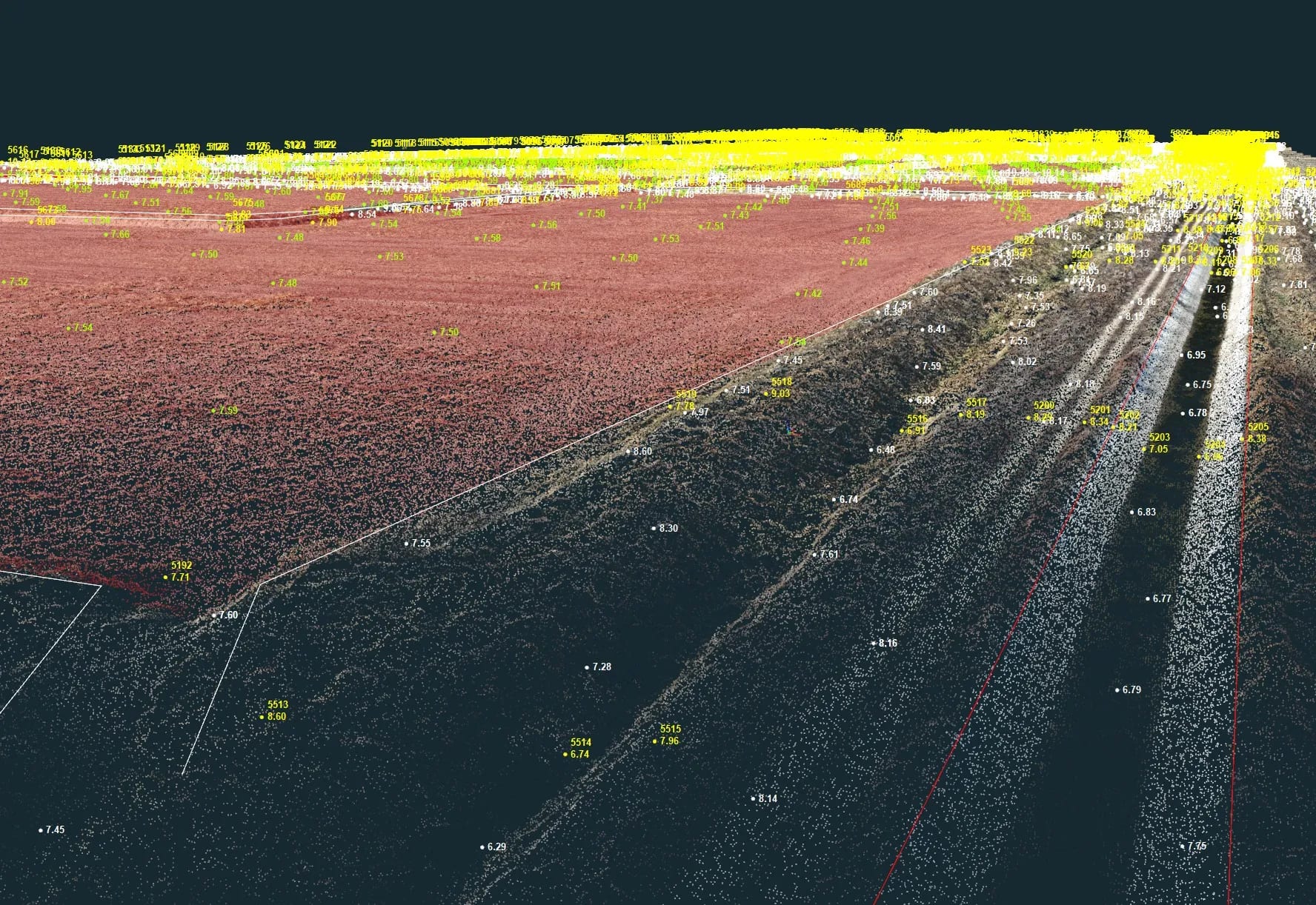
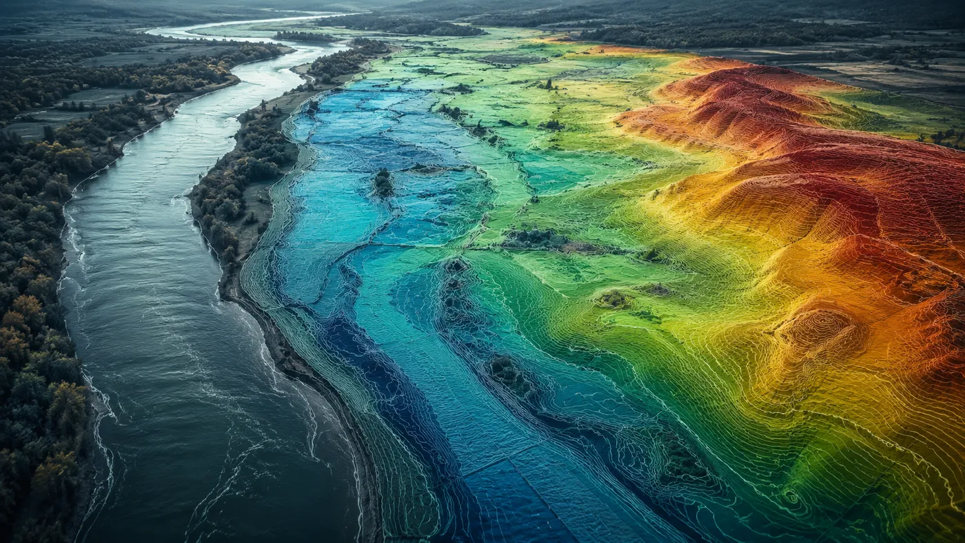
Airborne LiDAR is the natural method for capturing data over large surfaces and generating an accurate model of the terrain. Using laser pulses to measure distance to the ground, it produces digital elevation models (DEM/DTM) with a faithful representation of relief. On the basis of these models, hydrologists can simulate how water behaves at different levels and exactly delineate flood-prone areas.
Mobile scanning of riverbanks and watercourses
Alongside airborne LiDAR, mobile scanning systems mounted on boats make it possible to scan riverbanks and adjacent areas. This approach is essential for assessing risks specific to watercourses. The point-cloud data collected feeds flood-risk analyses and supports climate-change adaptation, emergency management, urban planning and channel maintenance.
Applications and benefits of LiDAR data
- Flood-risk maps: identifying prone areas allows authorities to take preventive measures and plan evacuation and intervention routes.
- Climate-change adaptation: LiDAR data helps communities and infrastructure adapt to growing risk, reducing the impact on population and environment.
- Resilient urban planning: locating buildings, critical infrastructure and green spaces to facilitate natural drainage.
- Emergency management: during a flood, the data enables fast identification of affected areas and prioritisation of rescue efforts.
- Watercourse maintenance: identifying sedimentation and erosion zones for planning maintenance works.
Conclusion
Flood prevention requires a multidisciplinary approach in which accurate terrain models are indispensable, and airborne LiDAR and mobile scanning provide exactly this data foundation. For risk analyses, digital terrain models or LiDAR surveys of exposed areas, contact us — we help you turn the real terrain into data you can rely on.