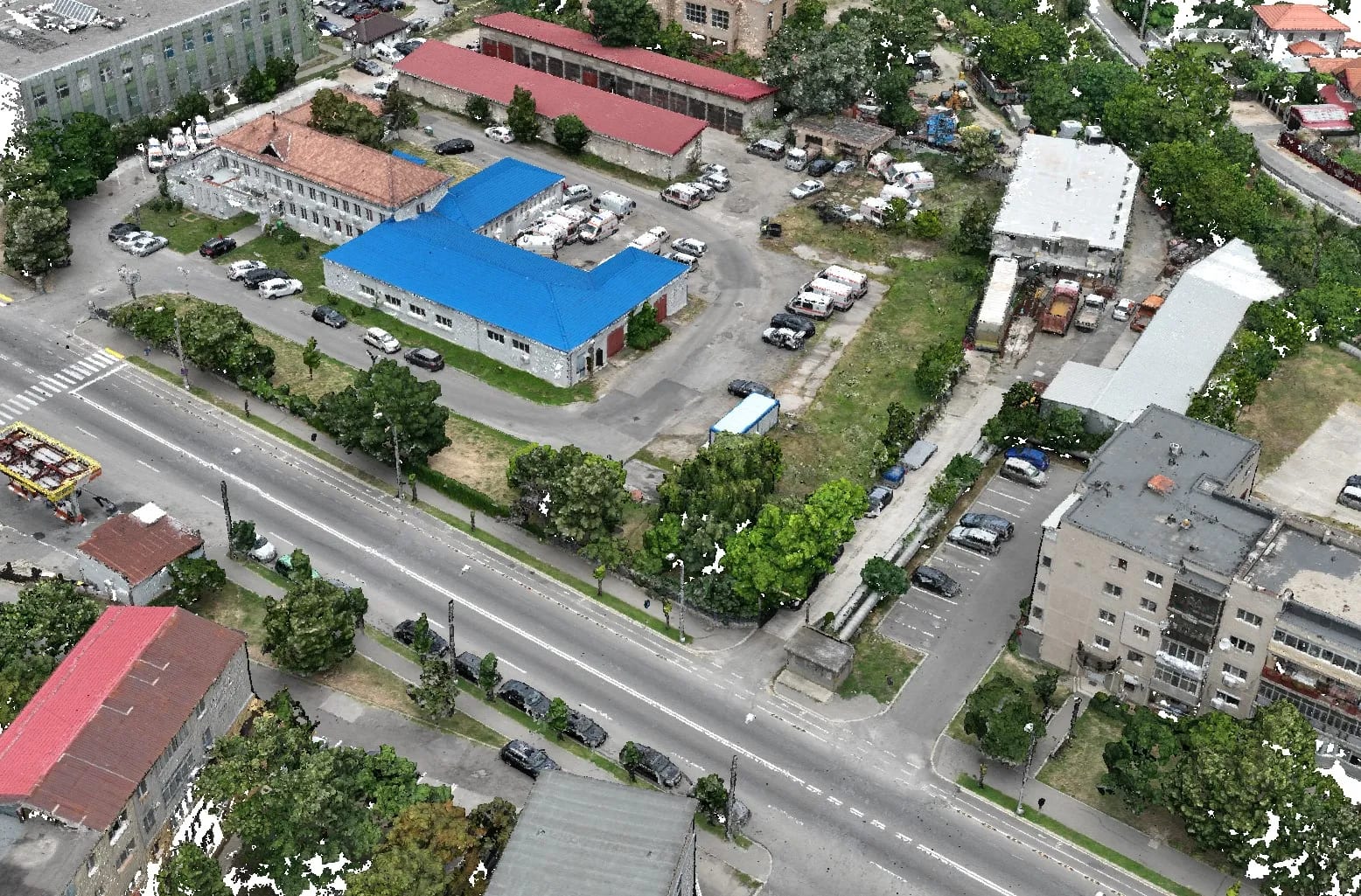
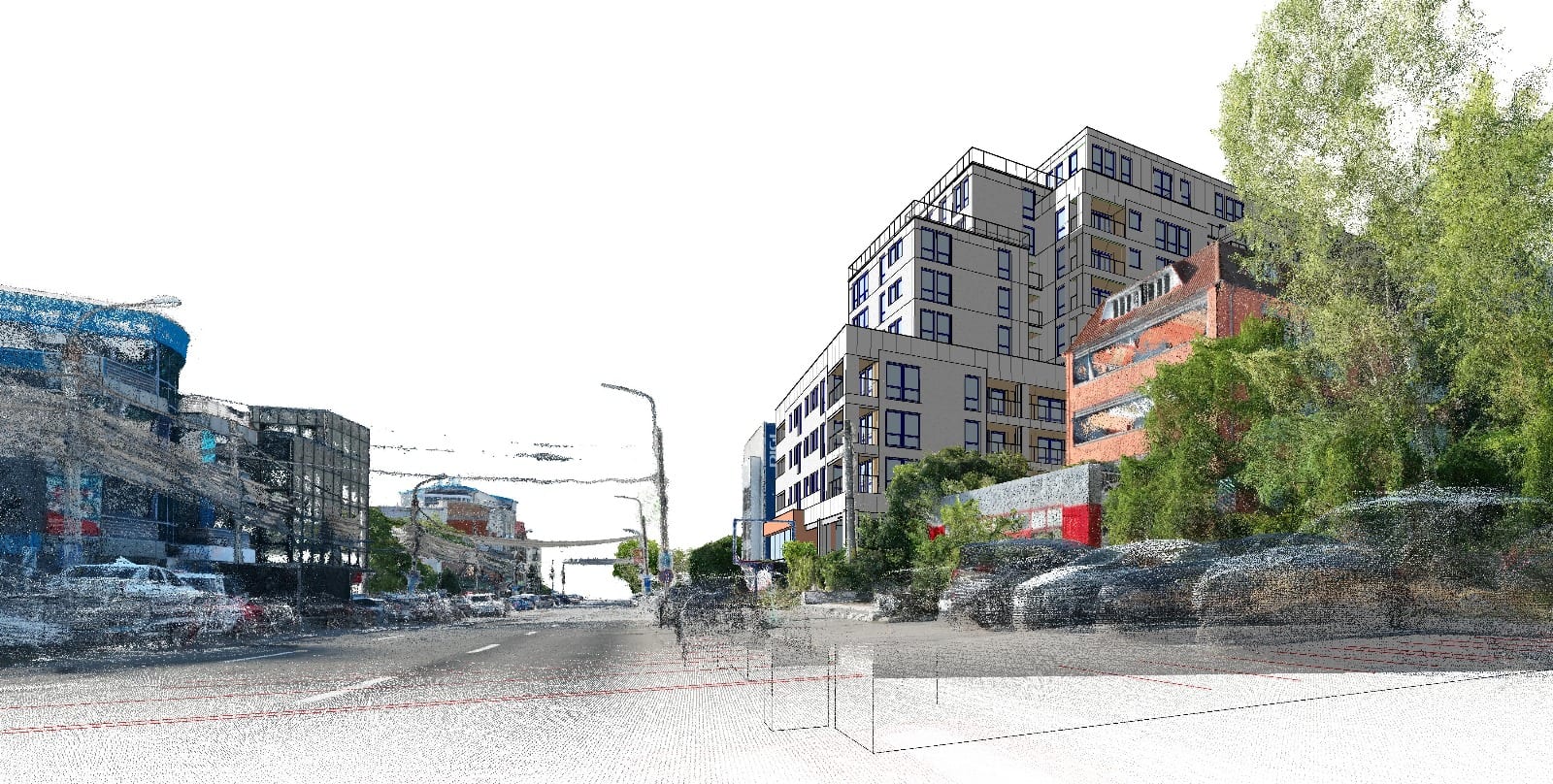
Mobile 3D scanning with SLAM algorithms: how it works without GPS

Mobile mapping has become extremely valuable: imagine scanning a 100 km road or a shopping mall without it. The key lies in SLAM algorithms (Simultaneous Localisation and Mapping), which allow the scanner to know where it is even where GPS cannot reach. This article explains why mobile 3D scanning matters and how it works using SLAM algorithms.
The role of GPS in mobile mapping
GPS is part of the suite of sensors that a mobile mapping system uses to determine its position, speed and relation to the scanned objects. To bring the survey into the national reference system, we use GPS together with the GeoSLAM Locate handheld 3D scanner.
How SLAM works where there is no GPS
Indoors, where GPS does not function, the scanner can no longer derive its position from the satellite signal. This is where SLAM algorithms come in: the handheld 3D scanner continuously determines its position in relation to its surroundings, building the map and locating itself within it at the same time. As a result, scanning can continue without interruption in enclosed, underground or covered spaces.
Conclusion
Mobile 3D scanning with SLAM algorithms makes it possible to map spaces that would be impossible to cover otherwise, combining outdoor coverage through GPS with indoor localisation through SLAM. For a mobile 3D scan of a building, a network or a long route, contact us.