Tree inventory with photogrammetric drones: managing urban green spaces
Managing urban green spaces requires accurate data about the vegetation: how many trees there are, where they stand and in what condition. The photogrammetric drone provides this data quickly and without laborious manual measurement, through aerial mapping of parks, gardens and tree-lined avenues. This article shows how photogrammetric drones support the mapping, counting and inventory of trees, for more efficient and sustainable urban management.
Why urban green spaces matter
Parks, public gardens and tree-lined avenues improve air quality, reduce pollution, increase biodiversity and provide spaces for recreation. Their proper inventory and management are essential for the sustainable development of the city — and that requires up-to-date, accurate data.
Mapping green spaces with the drone
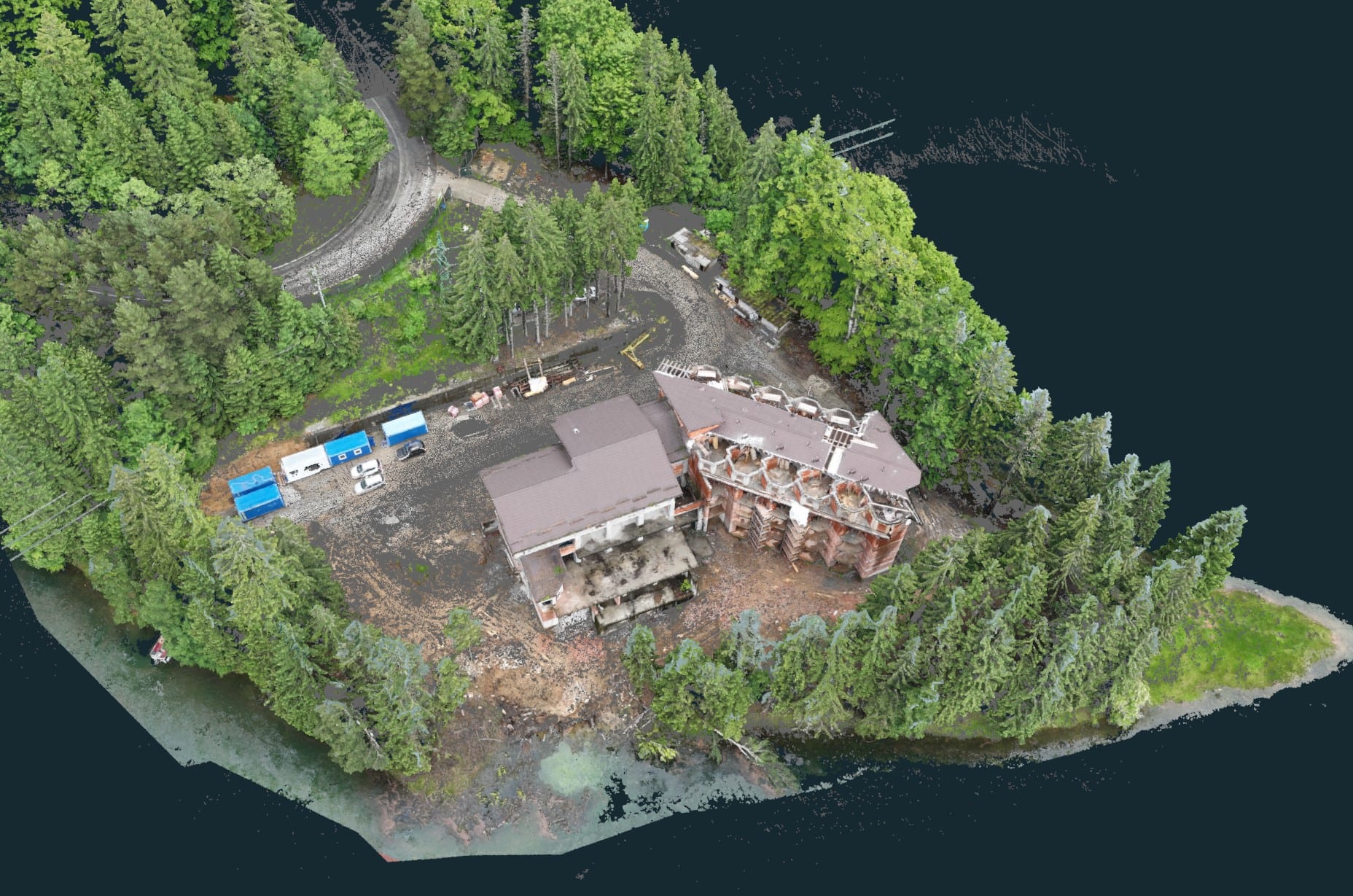
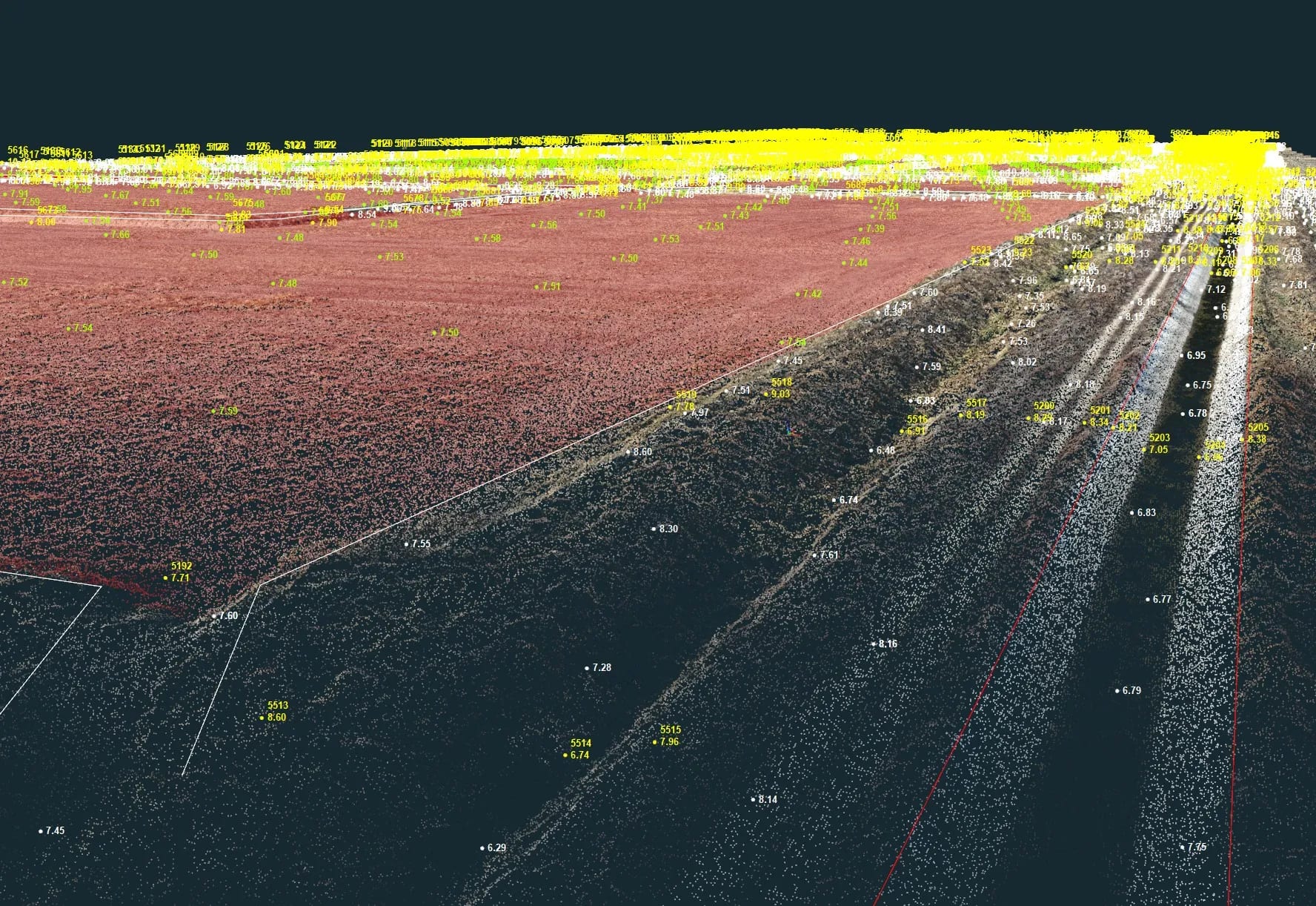
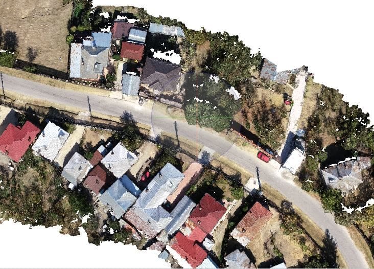
The photogrammetric drone, equipped with high-resolution cameras, flies over the area and captures detailed imagery from which information about the size, shape and condition of the green spaces is extracted. The assessment is fast, repeatable and covers even hard-to-reach areas.
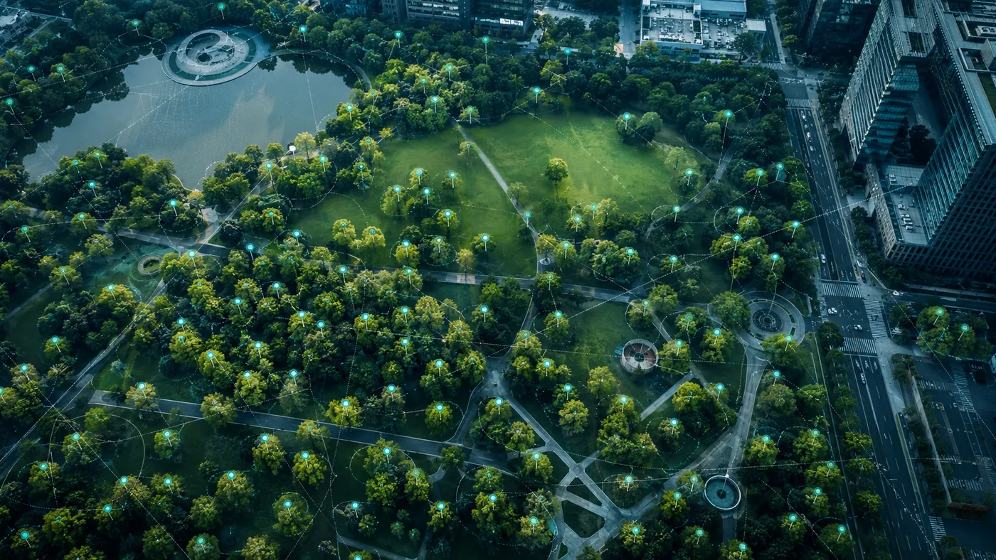
Counting and inventorying trees from the air
One of the most valuable applications is counting and inventorying trees. Thanks to its high precision, the drone identifies and counts trees even in dense or hard-to-reach areas, and the data can include height, canopy diameter and health status — information useful for maintenance and for planting plans.
Data-analysis software
Specialised software automatically processes the collected imagery, identifying and cataloguing trees and green spaces. This automation saves time and resources and allows periodic monitoring of urban vegetation.
Benefits of the photogrammetric drone in vegetation management
- Efficiency: fast and accurate data collection.
- Coverage: access to hard-to-reach areas.
- Time savings: automated processing replaces manual inventory.
- Detail: specific data for each tree or green space.
Conclusion
The photogrammetric drone opens new possibilities for monitoring and conserving urban green space, helping cities become greener and more sustainable. For mapping or inventorying the green spaces under your administration, contact us — we turn a drone flight into useful data for decision-making.