3D laser scanning: how it works and where it is used

3D laser scanning is the geodetic technique through which the geometry of a structure is measured fully automatically, without a reflective medium, the result being a three-dimensional image called a point cloud — thanks to its density of millions of points. This article explains the measurement principles on which 3D laser scanning is based, how fast it is, and the fields where it is used.
Measurement principles: TOF, triangulation and phase shift
Laser scanning systems work according to one of three measurement principles:
- Time of flight (TOF): the distance is computed by measuring the round-trip time of a laser pulse.
- Triangulation: the 3D coordinates of the measured point are determined through forward intersection.
- Phase shift: a modulated signal is emitted, and the phase difference between the returned signal and the moment of emission is determined.
How fast 3D scanning is
The scanning speed depends greatly on the scanner and on its field of view. With laser scanners, the acquired points are usually visible on screen in real time. For full coverage of the geometry, scans are taken from different angles which, when merged, form the point cloud. The number of points per second, the width of the scanning band and the point density per line all matter as well.
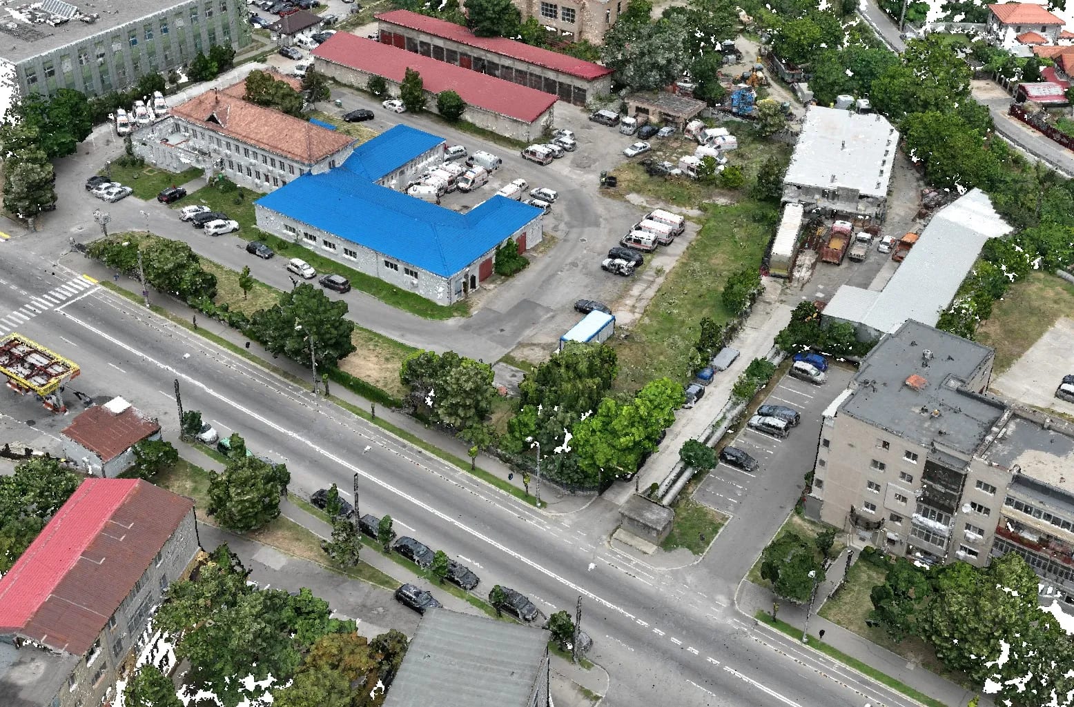
Where 3D laser scanning is used
The 3D laser scanner is used in numerous fields:
- indoor or outdoor topographic measurements with very high accuracy;
- digital archiving of any objective;
- archaeology — a non-invasive method, the site is recorded accurately without being physically affected;
- architecture and restoration — site plans and façade as-built drawings for refurbishment;
- positioning of pipes, networks and cables in industrial facilities;
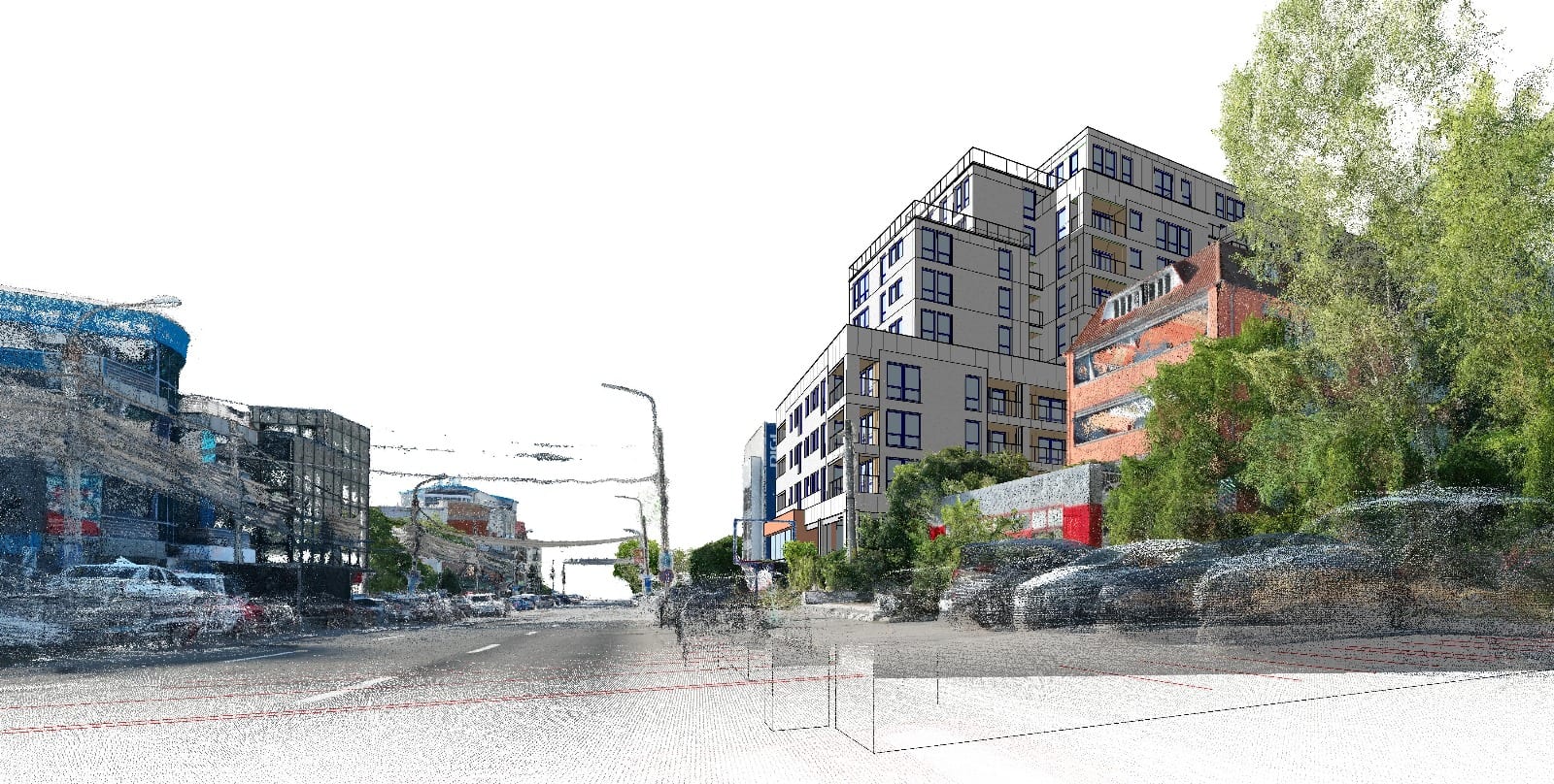
- creation of animations or films with a 3D virtual perspective;
- industrial measurements for surfaces, distances or volumes;
- identification of errors in 2D documentation;
- high-precision measurements for the construction or rehabilitation of access routes;
- 3D monitoring of buildings, bridges and dams;
- measurement of pipes and tanks for position, volume or deformations.
Static or mobile scanning
3D scanners can operate statically, from a fixed position, delivering very high-accuracy results. There is, however, also the option of mounting the scanner on a mobile platform, a vehicle or even an aircraft, for the efficient scanning of an environment or a structure — in these cases the costs are higher, since the operations are more complex and require additional equipment.
Conclusion
3D laser scanning offers geodetic accuracy and a high-density point cloud, useful from architecture and restoration to industry and infrastructure. For a 3D laser scan of an objective, contact us.