Topographic survey, drone orthophoto and 3D model
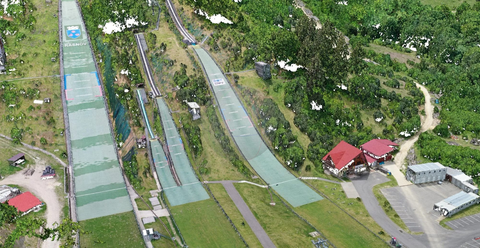
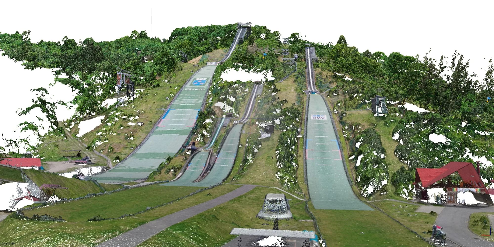
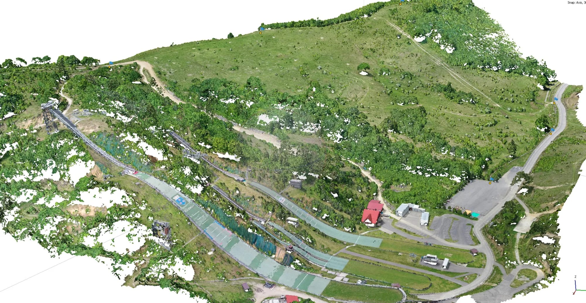
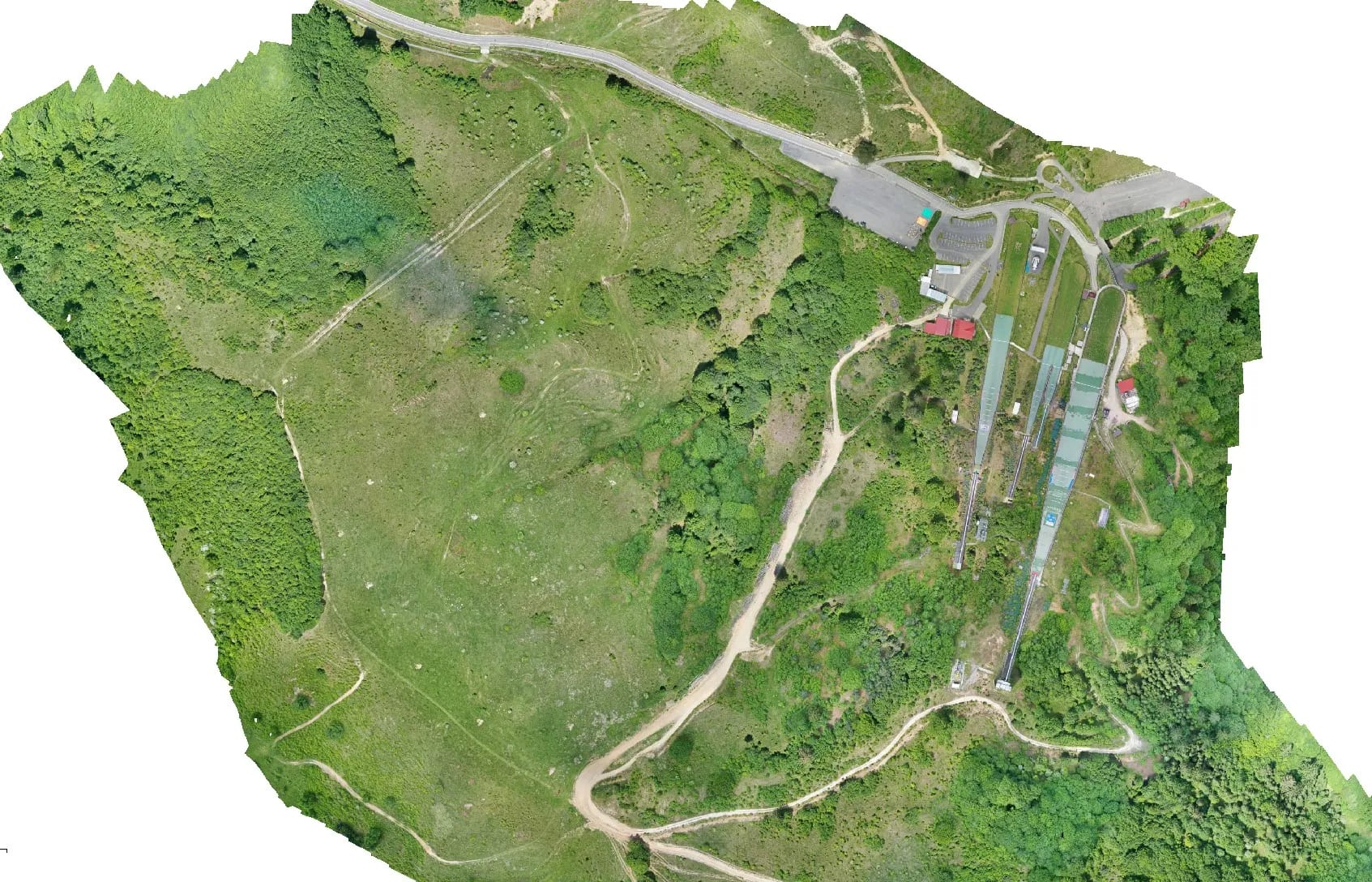
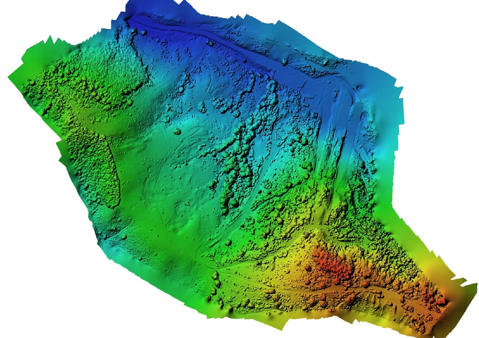
Topographic survey, drone orthophoto and 3D model of the terrain.
Deliverables
- un model 3D
- ortofotoplan georeferențiat
- ridicarea topografica avand curbe de nivel cu echidistanta de 0.3m
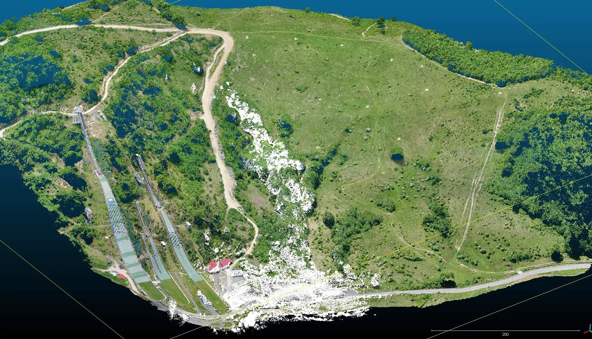
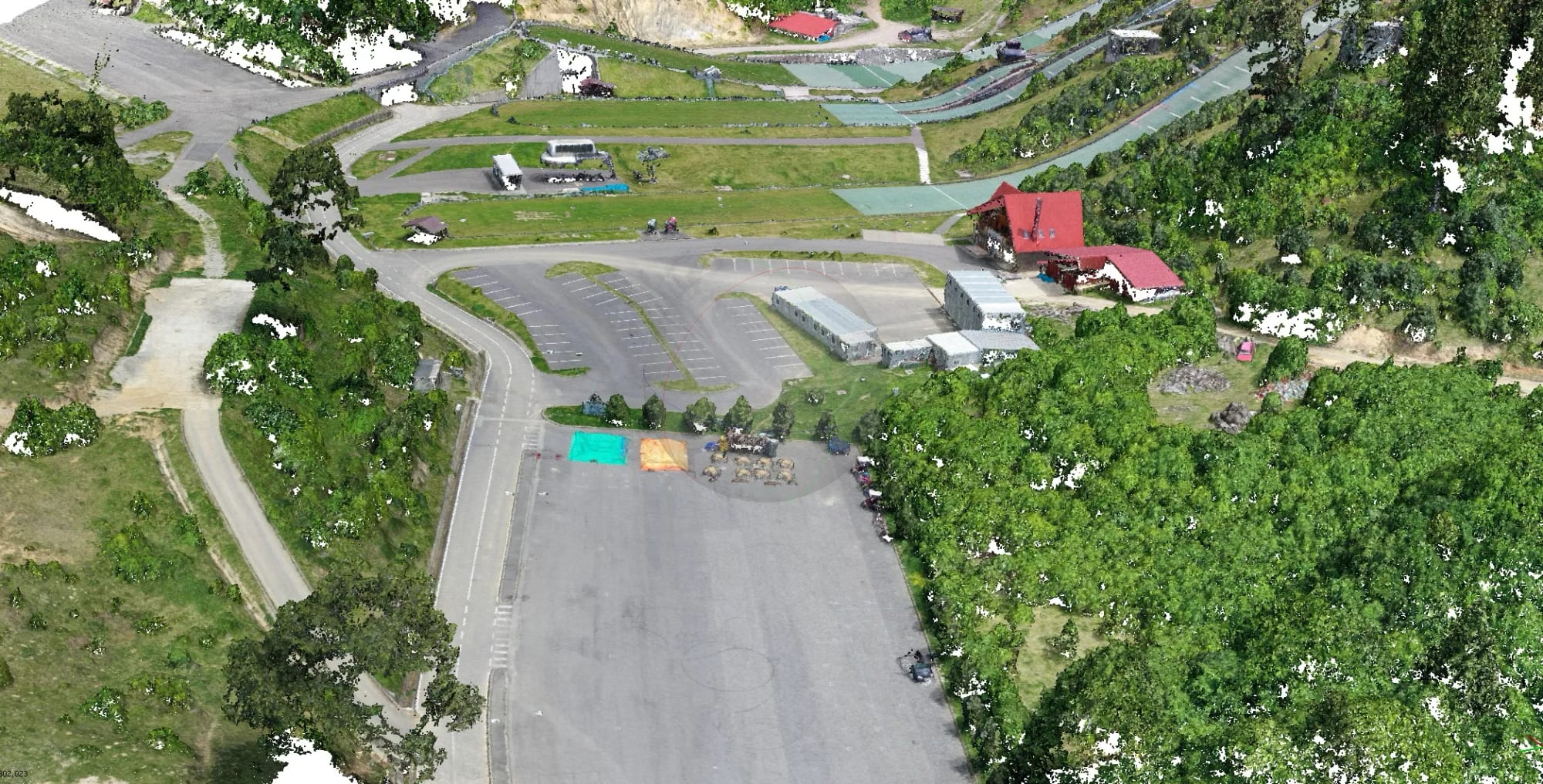
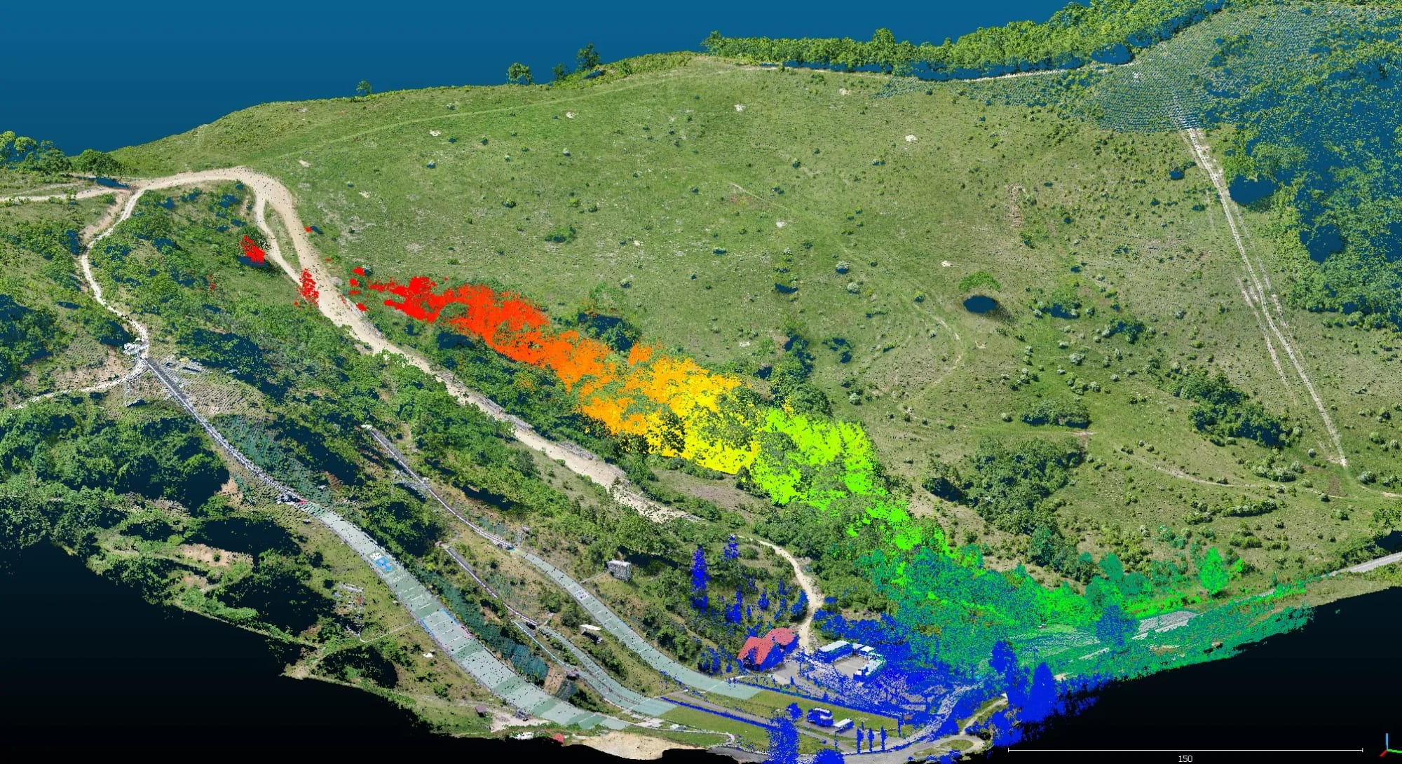
Topographic survey, drone orthophoto and 3D model of the terrain.
Tell us briefly the location, the area and the deliverables you need. We reply quickly with a technical proposal and realistic timelines.